
Denison ZIP Code Directory Coverage
Official county and postal material located two Denison ZIP labels: 75020 and 75021. The county ZIP layer and the city-limit/ETJ legend show both labels, and USPS facility material associates both with the Denison Post Office at 231 W Woodard. That is the complete set found in the official sources reviewed. It is not a street-by-street boundary list, and neither source supports assigning a neighborhood or delivery route to either label.
| ZIP Code | Areas Covered | Post Office | Notes |
|---|---|---|---|
| 75020 | Official Denison label on county ZIP and city-limit material | Denison Post Office, 231 W Woodard | Primary Denison label found; exact street split was not published in inspected text. |
| 75021 | Official Denison label on county ZIP and city-limit material | Denison Post Office, 231 W Woodard | Valid Denison label; do not call it PO-box-only or attach neighborhoods without an official boundary product. |
Postal labels can overlap a city area without defining its incorporated limits. The county map uses its own city-limit and extraterritorial-jurisdiction layers. USPS assigns mail delivery and lookup results. A parcel or address needs both checks when the question is whether it is inside Denison and which ZIP applies to its mailing address.
Denison ZIP Map Layers
Use separate map layers for separate questions. The county ZIP layer identifies postal geography, while the City Limits and ETJ legend identifies municipal geography. The Grayson city-limits and ZIP legend is the source captured for the boundary comparison.
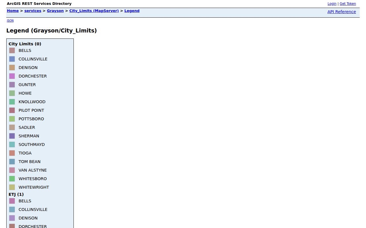
The legend is an orientation tool. When a map picture, a deed, a survey, or a certified clerk record conflicts, the controlling record is not the map image. The city itself cautions that original records may differ, so save the layer name and date along with any map result.
County GIS also includes parcels, addresses, road centerlines, voter precincts, school districts, and other boundary layers. Those layers can help locate an address after the ZIP is confirmed. They should not be treated as a list of residents or proof that a named person occupies a parcel.
Denison USPS ZIP Lookup Fields
The USPS ZIP Lookup is the first postal check for a Denison address. Its results are routing information, not evidence that a person or company is at the address. If more than one result appears, USPS directs the user to narrow the search with the street or unit. The inspected service has three modes and the following documented inputs.
| Lookup mode | Fields captured | What to record |
|---|---|---|
| By Address | Company optional; Street Address required; Apt/Suite optional; City required; State required; ZIP optional | The returned ZIP or ZIP+4 and any unit-specific result. |
| By City and State | City; State; Find | The postal labels available for the city name. |
| Cities by ZIP | ZIP; Find | The associated city label, without inferring a city boundary. |
A ZIP+4 is a more detailed postal routing code appended to the five-digit ZIP. It can improve delivery precision, but it does not change the city-limit test or prove a current household at that point.
Denison ZIP Code Directory Search Chain
Finding records within a Denison ZIP means translating a postal label into an address, parcel, or legal description. GCAD did not expose a dedicated ZIP query field during inspection. The deed portal likewise does not use ZIP as a primary search key, and the normal voter portal asks for individual identifying inputs rather than a ZIP filter. The practical workflow narrows one known address instead of claiming a ZIP-wide resident roster.
- Confirm the address with USPS By Address and write down the returned ZIP or ZIP+4.
- Use the Grayson GIS ZIP layer and the city-limit or ETJ layer separately. Save the address or parcel point and the boundary result.
- Run the GCAD address search. Record the situs address, mailing ZIP, Geographic ID, Property ID, and legal description shown on the parcel card.
- Use the current owner name or legal description in the county deed index. ZIP is a bridge to that search, not a deed-index field.
- For a historical question, carry the street, cross street, and address into directories, newspapers, or maps. Older sources may predate ZIP labels.
- Label each result by its source and date. Postal geography never establishes residence on its own.
Once a ZIP has narrowed the address, the Denison street directory provides the fuller by-street record path. The ZIP code directory remains focused on postal geography and the bridge into address-based records.
Denison ZIP and Parcel Cards
The Grayson Central Appraisal District search is useful after an address is known. Its parcel card can show a situs address, owner mailing address, mailing ZIP, Geographic ID, legal description, tax year, and improvements. The inspected Advanced search did not show ZIP as a dedicated query field. Search by address, owner, ID, or the available advanced options, then read the ZIP in the returned parcel data.
Situs means the physical property location. A mailing address is where correspondence is sent. Those fields can differ, including outside Grayson County, so a mailing ZIP should not be presented as an occupancy finding. GCAD is an appraisal roll, not title evidence, and it can lag a recorded deed by about 90 days according to the local research.
Note: Save the parcel identifiers with the record date because they make the next deed or GIS check easier to repeat.
Denison ZIP Voter Lookup Limits
A ZIP is not a search field in the normal Texas voter lookup. Grayson County documents three individual routes: name with county and date of birth, date of birth with a VUID, or date of birth with a Texas driver license number. That design helps an identified voter check registration information, but it cannot be used to turn either Denison postal label into a list of voters. The portal was unavailable during research, so its current response labels and result fields should be confirmed directly with the state or county before relying on them.
The state voter-file request process is also not a ZIP filter. Its documented extract options include county, district, precinct, active, suspense, and cancelled status, while the record layout includes protected identifiers and address fields. The form requires a notarized affidavit, a $75 deposit, and full payment before release. Texas law limits the use of that file and prohibits advertising or promoting commercial products or services with it. For that reason, a ZIP code directory should direct readers to the official individual lookup or to Grayson Elections for a current procedure, not reproduce an address-based voter list.
Texas also protects social security, driver-license, and DPS ID information. Voters may request web suppression, and alternate-address or Address Confidentiality Program participants may have substitute or unavailable residential addresses. A missing result can reflect these protections or a changed registration record. It does not prove that a person is not registered, lives outside a ZIP, or is connected to a particular parcel.
Denison ZIP Deed Record Bridge
A ZIP code does not search the county deed portal directly. Use the confirmed address to find the GCAD parcel and legal description, then use the owner name or legal description in the Grayson official-records route. A recorded instrument can show grantor, grantee, document type, recording date, document number, book and page, and legal description. It records a transaction between parties, not who later occupied the property.
The Grayson GIS ZIP-code layer is the postal map source captured for this ZIP code directory.
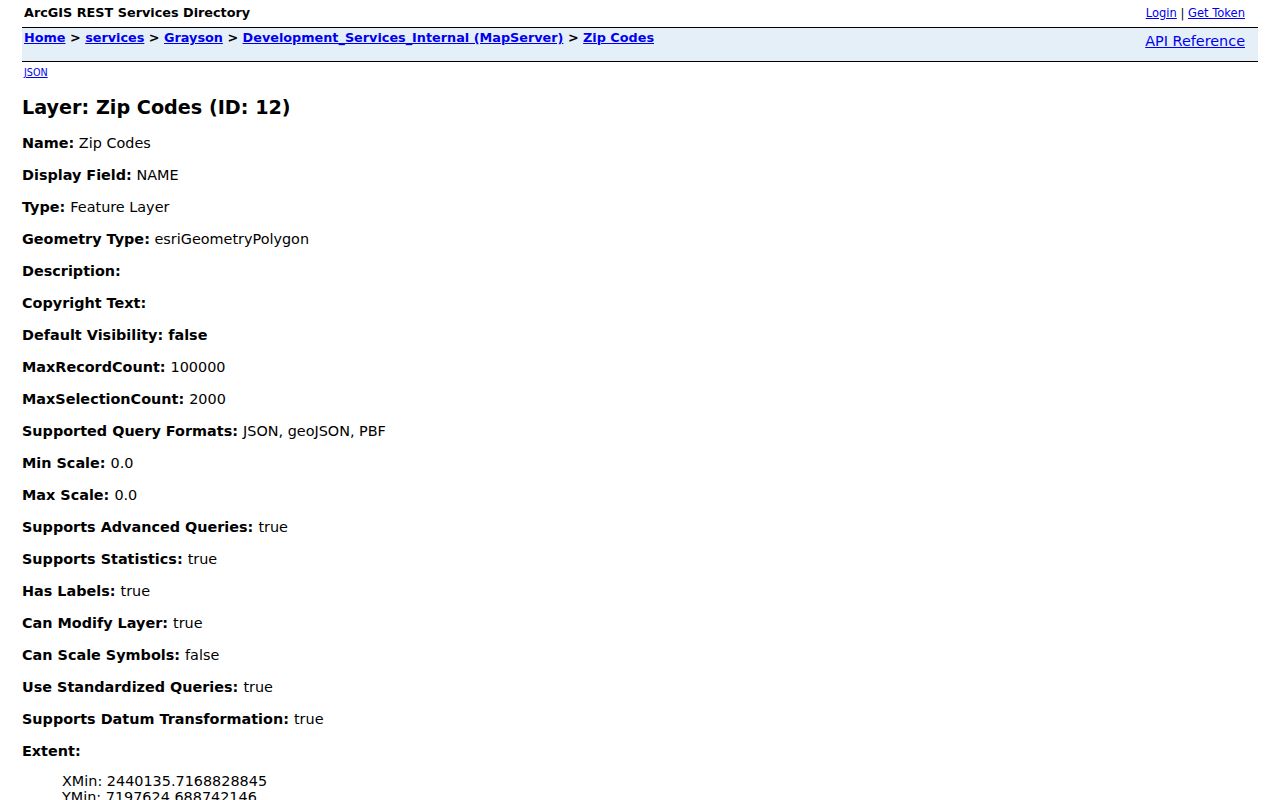
Use the ZIP layer to orient the address before moving into parcel and deed records. It does not supply an official neighborhood assignment, a delivery-route narrative, or a complete resident inventory.
Denison ZIP Address Split
Denison has a clear physical-address and mailing-address example. City Hall is physically at 300 W Main Street in 75020, while its mailing address is PO Box 347 in 75021. Fairview Cemetery has the same pattern: its physical location is 1501 Hwy 91 North in 75020 and its mailing address is PO Box 347 in 75021. The cemetery page states that USPS will not deliver to the physical address.
This local quirk is why an address type belongs beside every ZIP result. A physical site, a mailing box, and a parcel mailing address can use different ZIP labels without describing three neighborhoods. It also explains why the Denison ZIP code directory does not label 75021 as exclusively for boxes or assign it to a particular part of town. No official source located a current citywide realignment history, ZIP+4 street table, or boundary-effective-date archive.
Denison ZIP City Limit Differences
ZIP boundaries and Denison city limits answer different questions. Use the county city-limit or ETJ layer when incorporated status matters, and USPS when the postal label matters. The map-service text reviewed did not expose a precise street list, delivery-route split, or polygon narrative for 75020 and 75021. Do not fill that gap by guessing from a neighborhood name, a map color, or a mailing address.
- ZIP versus ZIP+4
- A ZIP identifies a postal delivery area. ZIP+4 adds a delivery-specific segment, such as a group of addresses or a unit range.
- PO-box ZIP
- A ZIP used for post-office box delivery. The research did not establish that either Denison label is exclusively a PO-box ZIP.
- Unique ZIP
- A ZIP assigned to a single institution or organization. No unique Denison ZIP was identified in the official sources reviewed.
- Carrier route
- A postal delivery grouping. It is not a municipal boundary or a published resident directory.
Boundary caution. A Denison ZIP result is postal geography only. Confirm the parcel, city-limit layer, and controlling record before relying on a boundary conclusion.