
Trace a Denison Street by Address
A Denison address search works best as a chain, not as a single name search. Start with the Grayson Central Appraisal District, usually called GCAD, to identify the parcel and its situs address, which means the physical property address. Then place it in the county map, use the legal description to locate recorded instruments, and compare a dated directory only when the question is historical. The normal voter portal is not a public street roster. It supports an individual lookup only when the required identifying information is available. That boundary matters when researching a Denison block.
- Search GCAD by the street number and street name. Save the Property ID, Geographic ID, legal description, situs, and tax-year card.
- Use the Grayson County map layers for the parcel, address point, road centerline, and Denison city-limit or ETJ status.
- Search the Grayson County official-records index by the owner name and legal description, then capture the document number and recorded date.
- Read a deed image or ask the County Clerk for help when the index needs context, especially for an older volume or a shortened legal description.
- For a past household, pair the transfer date with a dated directory, newspaper, census, or probate lead instead of calling an owner record proof of occupancy.
The complete deed-to-directory history for one address belongs with previous residents of a Denison address. A street directory is most useful when the reader needs a reliable way to move from a visible address to the records behind it.
Search Denison Street Parcels in GCAD
The GCAD property search has Owner, Address, ID, and Advanced tabs. Its Address and Advanced options make it the practical first stop for a Denison street directory search. GCAD advises reducing an address to the street number and street name when a detailed entry fails. A difference such as “St” instead of “Street” can prevent a match. The Advanced screen also exposes Street Number, Street Name, Property ID, subdivision, property type, tax year, and several other fields. No required-field marker was visible during the research, so an exact combination should not be assumed to work in every case.
| GCAD field | How it helps a Denison street search | Format or caution |
|---|---|---|
| Street Number | Narrows an address-keyed parcel search | Use with Street Name when needed. |
| Street Name | Finds a road without excess address detail | GCAD says to omit prefix, suffix, and unit. |
| Owner Name | Supplies an owner lead for deed searching | Enter last name first, then first name. |
| Property ID / Geographic ID | Locks a specific Denison parcel to map and card details | Record both identifiers before comparing sources. |
| Subdivision / legal description | Bridges the appraisal card to recorded instruments | Useful when a street name changed or varies. |
GCAD result lists show an owner name, appraised value, and a path to details and the map. The detail card can include a legal description, ownership percentage, mailing address, values, land and improvement information, roll-value history, and a deed-history panel. It is an appraisal record, not title evidence. GCAD notes that a recorded transfer can take about 90 days to appear, so the county deed index is the better confirmation for a recent ownership question.
Note: Save the identifiers and the source date before comparing a GCAD card with any Denison deed or historical directory entry.
Separate Denison Situs and Mailing Fields
The most useful Denison street directory distinction is between the situs address and the owner mailing address. GCAD displays both because a person or organization can receive mail at a different place from the parcel. Neither field, by itself, identifies everyone who may be present at the property. A result can also show multiple owners, with the first owner followed by “et al.”. Treat that display as a lead to examine, not a complete household list.
- Parcel
- A defined tract in the appraisal and map systems, commonly identified by a Property ID and Geographic ID.
- Situs address
- The physical address assigned to the property. It is not necessarily the owner’s mailing location.
- Plat
- A recorded map that lays out lots, blocks, streets, or easements. Plat questions can require county-counter help.
- Criss-cross directory
- A reverse-style historical directory arranged by address, useful for checking who was printed at a location in a particular year.
Denison also has a local postal reminder. City Hall uses a physical address in ZIP 75020 and a mailing post-office box in 75021. Fairview Cemetery has the same physical-versus-mail contrast. That is why a mailing ZIP should be labeled as mail routing, not treated as a physical-address finding. Use the county GIS city-limit and ETJ layers separately from postal data.
Place Denison Streets on County GIS
The Grayson County public map service supplies the spatial side of a Denison street directory. Its published layers include parcels, addresses, road centerlines, city limits, ETJs, voter precincts, school districts, and other boundaries. Use Address, Parcels, and Road Centerlines together before drawing a conclusion about a street. The service exposes Find, Identify, and Query operations, but the research did not verify a public radius or block tool. Visible adjacent parcels and street boundaries are the sounder method.
The Denison city maps page is shown below. It links to interactive, capital-project, downtown-entertainment-district, and zoning views.
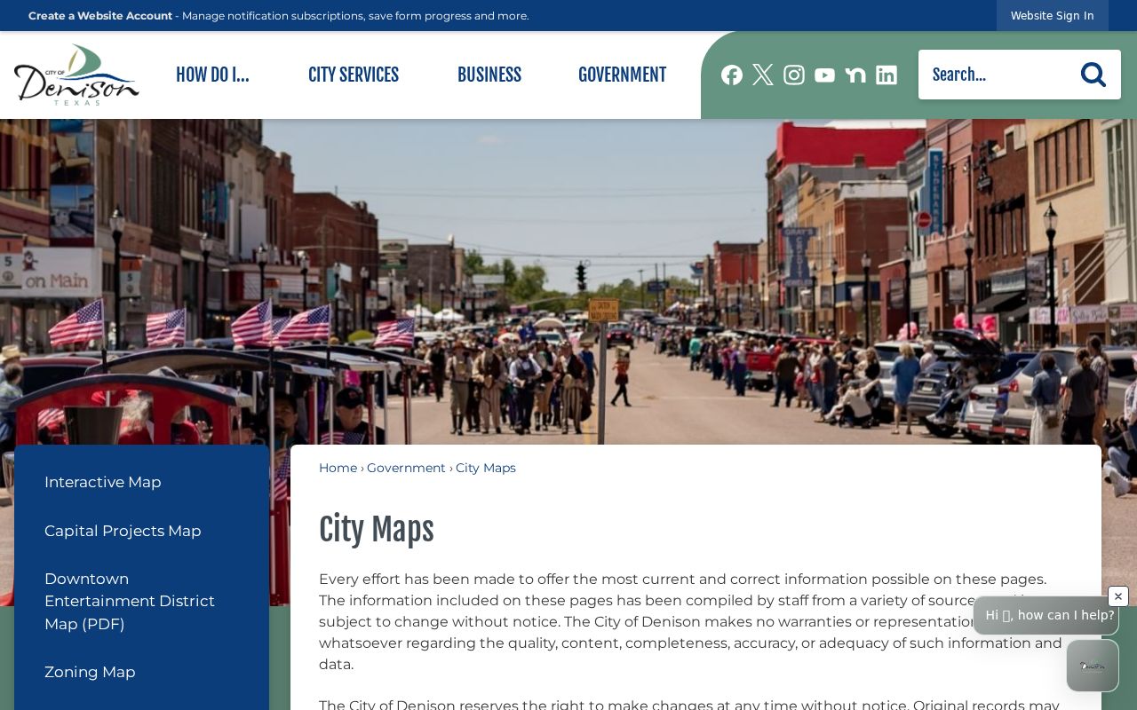
Those city map products add useful project and zoning context, but the city cautions that they compile information from multiple sources and that original records may differ. For a Denison parcel boundary, recorded instrument, or legal description, check the controlling county record.
A city-limit line can explain why a place uses a Denison postal label while falling in an ETJ or another jurisdiction. It does not establish who is at the address. The same care applies to the voter-precinct layer: it shows election geography, while the Texas My Voter Portal requires an individual lookup route rather than offering a public street-by-street roster.
Follow Denison Owners Into Deed Records
Use the current owner name and legal description from GCAD to search the county’s Real Property index. The prompt accepts a name, subdivision, document type, or document number. County instructions give a first-name, space, last-name format for name searching, and also allow a document number or volume-page number. Begin with Index Only when matching a party and date. The portal’s Index and Full Text option uses OCR, which is more useful for a phrase that might appear in the scanned instrument.
- Grantor and grantee: the parties named in a recorded transfer.
- Document type: examples in county instructions include Warranty Deed, Gift Deed, and Deed of Trust.
- Recorded date: the county filing date, which can differ from an event date on the document.
- Document number and book or page: retrieval points for the record and older-volume context.
- Legal description: the lot, block, subdivision, or other land description that links the deed to the parcel.
Online county instructions place the deed index at 1915 to the present, while the County Clerk holds official public records from 1846. Pre-1915 work may require the Real Property counter at 100 W Houston Street, Ground Floor, Suite 17, in Sherman, or a microfilm route. The counter is generally open Monday, Tuesday, Thursday, and Friday from 8:00 a.m. to 4:30 p.m.; Wednesday starts at 8:30 a.m.; a noon closure may occur. Call 903-813-4239 or use deeds@co.grayson.tx.us for an office-specific question.
For earlier Grayson land records, the Texas State Library and Archives Commission’s Grayson holdings list deed books and indexes on microfilm. It reports 1846 to 1886 deed material and allows on-site viewing or interlibrary loan, but staff do not perform the reel search or make copies for a researcher.
Date Denison Street Work Through Permits
Permit records can add a dated physical-change lead to a Denison street search. The city publishes requirements for right-of-way work, pavement cuts, drainage plans, electrical work, fences, foundation repair, and generators. Its public materials describe the kinds of documents that can be filed, but no public permit-history search was located. Ask for a defined address, date range, and permit type through the City Clerk rather than asking for a newly created property history.
The Denison permit information page is shown below, including the city’s permit categories.
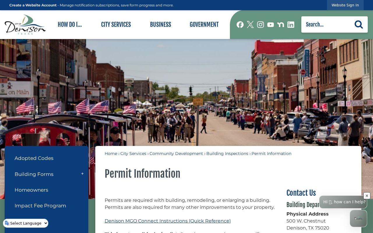
The follow-up channel is the city’s open-records request procedure. A focused request can ask for permit number, issue date, work description, and final-inspection information if the city maintains those fields. Texas Public Information Act requests do not require the city to create a timeline. Planning, zoning, subdivision plats, annexation records, and code-enforcement material are routed through city offices when an address question needs more than the public permit page.
Note: A permit can date work at a Denison parcel, but it does not prove ownership or a person’s residence there.
Test Denison Street Names Against Maps
Denison grew around the Missouri-Kansas-Texas Railroad townsite laid out in 1872. That history gives old street research a practical complication: an older deed or directory can use a name, number, landmark, or legal description that does not match a modern search box. The 1892 Library of Congress Sanborn sheet and a 1930 University of Texas Sanborn map can help compare cross streets, rail lines, public buildings, blocks, and building footprints.
A specialized chronology reports a March 7, 1938 change that renamed every Denison street except Main and Broadway. It is a useful lead, not a settled city-record conclusion: the research did not locate the ordinance. Check the city ordinance archive and the March 1938 Denison Press before relying on that claim. When the wording conflicts, test the old number, cross street, lot and block, map footprint, railroad landmark, and city-limit history together.
Historical city-directory entries can supply residence notation, businesses, and cross streets, but they are time-stamped printed leads. The dedicated Denison city directory collections explain how to read those volumes without mistaking them for a current street list.
Read Denison Street ZIP Clues
A ZIP label is useful in a Denison street directory, but it is postal geography rather than a parcel boundary or a resident finding. The county GIS ZIP layer identifies Denison 75020 and 75021. Its city-limit and ETJ legend also uses those labels. The official sources reviewed did not publish a street-by-street ZIP split, a ZIP-to-neighborhood assignment, or a claim that 75021 is only for post-office boxes. Keep the ZIP field alongside, not in place of, the street, parcel, and jurisdiction layers.
Use the USPS ZIP Lookup by address to check a postal assignment, then confirm the place on the county map. USPS says its result does not confirm that a person or organization is at an address. City Hall and Fairview Cemetery each illustrate the same Denison pattern: a physical 75020 address and a 75021 post-office-box mailing address. That is a useful reminder to label physical and mailing fields separately in every street record.
Compare Denison Street Record Sources
Each address-keyed source has a separate role in a Denison street directory. Joining them carefully gives a reader more than a search result: a parcel can be placed on a map, an appraisal owner can be checked against a deed, and a dated directory can be treated as historical household evidence. The table does not turn any one source into a complete resident list.
| Denison record source | What it can show | Best access channel | Important limit |
|---|---|---|---|
| GCAD property roll | Owner, situs, mailing address, parcel fields, values | Online search; GCAD contact for update questions | Not title proof; owner display can lag a recorded transfer. |
| County GIS | Parcel shape, address point, roads, city limits, ETJ | Public map service and city map links | Shows geography, not a named resident roster. |
| Official-records index | Recorded parties, document type, date, book or page | Online index, image cart, clerk counter | Party names do not prove later occupancy. |
| City permit records | Address-linked work and dates, if maintained | Specific city open-records request | No public history search was found. |
| Historical directories | Printed address, household, business, and cross-street leads | Library, archive, and digitized collection | Historical evidence only; verify the edition and page. |
| Voter lookup | Individual registration information under state rules | SOS portal or Grayson Elections | Not an open Denison street roster. |
Grayson Elections Administration is at 115 W Houston Street in Sherman and can be reached at 903-893-8683. County instructions identify name plus county plus date of birth, date of birth plus VUID, and date of birth plus Texas driver-license number as individual lookup routes. Sensitive identifiers and protected addresses must not be copied into a street directory.
Respect Denison Street Directory Limits
A Denison street directory can connect public land records and historical sources, but it cannot fill in private gaps. A GCAD owner card or a deed party does not automatically identify the current occupant. GIS pins identify an address or parcel, not every person connected with it. Texas voter information includes protected identifiers and address-confidentiality rules, and the normal portal is not a bulk street-search tool. Birth and death records have separate access periods and qualified-applicant rules. A no-result is not proof that a person is absent from Denison.
Lawful use. Use Denison address records for personal, lawful research and source checking. Do not publish protected details or use an address trail to stalk, harass, intimidate, or harm anyone.
Texas Public Information Act requests should name the records and time period sought, and the city or county may redact confidential material. Keep a small evidence log with the source, date, address type, and limitation. That practice makes a Denison street search more accurate and avoids turning an ownership, mailing, or historical listing into a claim it cannot support.